


Linking Stanford’s 19th century heritage to its 21st century medical center, this historic lane remains uniquely Stanford
A quiet lane in the western part of Stanford’s sprawling campus gives few clues to its significance.
Governor’s Avenue, closed to motor vehicles for most of its length, is known to walkers and cyclists as a shortcut from dorms to labs, or from an afternoon workout at the Arrillaga Outdoor Education and Recreation Center to a shuttle home.

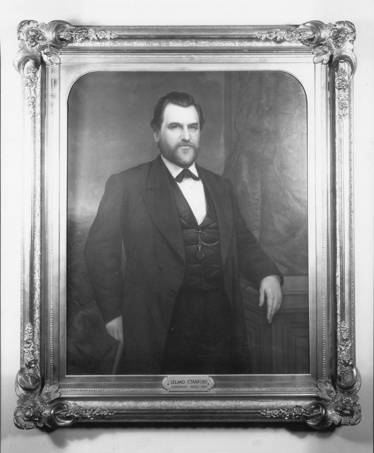
The avenue is a rare remnant of Gov. Leland Stanford’s Palo Alto Stock Farm, whose 8,180 acres became the university campus. Laid out and lined in eucalyptus in the 1870s, Governor’s Avenue originally ran 1.6 miles from the Stanfords’ summer home to Lagunita, their reservoir, via the famed Stanford trotting stables to the avenue’s west.
It stands out on maps because it’s the only Stanford street aligned to true north. Palm Drive and the rest of Frederick Law Olmsted’s design for the campus were laid out later, aligned to magnetic north.
Governor’s Avenue links Stanford’s past to present, its private face to its public face, one of its residential quarters to some of the research hubs that cement its reputation.
The avenue runs from now-dry Lagunita and nearby student housing to the School of Medicine, the Institute for Stem Cell Biology and Regenerative Medicine and the Center for Health Research and Policy. It ends as a modernized pedestrian lane to the new Stanford Hospital now nearing completion.

Though seemingly peaceful, even in old photographs, Governor’s Avenue bespeaks an interest in research and progress that predates the university.
Leland Stanford was fascinated by agricultural and equine science and development. The trotting horses he kept off the avenue set 19 world records. Eadweard Muybridge pioneered motion pictures nearby in the 1870s, when Gov. Stanford hired him to find out if horses at a gallop ever have all four feet off the ground. (They do.)
Stanford was also interested in scientific agriculture, and he imported thousands of trees to the Palo Alto Stock Farm to show how well they grew in California. The Tasmanian blue gum trees along the avenue date from this era. Early university trustees planted even more eucalyptus – meant as an investment but never harvested – in what is now Toyon Grove.
Governor’s Avenue was briefly the eastern boundary of an Army training camp during World War I, when an artillery brigade was quartered on the former trotting grounds. For decades, the avenue’s seclusion made it popular for romantic walks and bike rides. Over the years, drought, age and insects claimed most of the eucalyptus trees.
Today, the O’Donahue Stanford Educational Farm and Red Barn equestrian center to the west of Governor’s Avenue continue the agricultural legacy of these grounds.
Get a bird’s-eye view of the new Stanford Hospital in this short video. Governor’s Avenue is visible at :40.
Learn more about the history of the avenue.